We use cookies and similar technologies on the websites of the Czech University of Life Sciences Prague (under the domain czu.cz) to ensure the proper functioning of the website. With your consent, we also use them to measure traffic (Google Analytics 4), analyze website performance, and for marketing purposes (Meta, Sklik, Google Ads), including displaying embedded videos (YouTube). Information about how you use our websites may be shared with our partners in the fields of analytics, social media, and online advertising. Essential cookies are always active. You can change or revoke your cookie preferences and consent at any time in "Cookie Settings."
Here is a brief guide on how to work with the map. If you have any further questions, don’t hesitate to contact us!
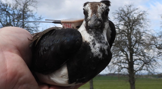
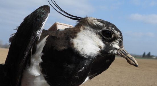
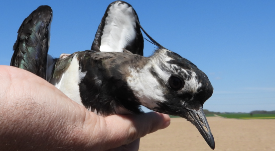
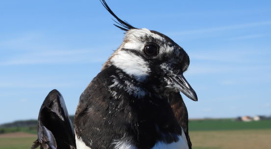
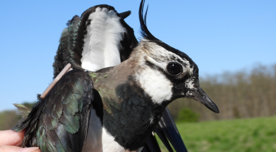
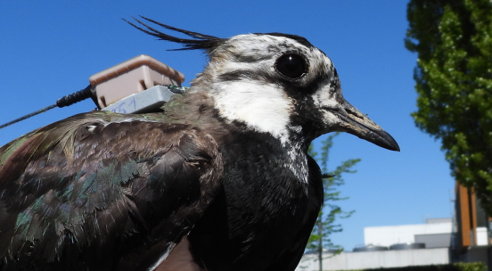
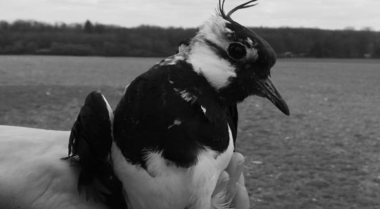
Displaying Routes: The map primarily displays the routes of all the lapwings tracked with our transmitters. The routes of these birds appear as lines on the map. If you want to view an individual map for a selected bird, choose it from the list below the map. A description of the bird will then appear, along with its specific route.
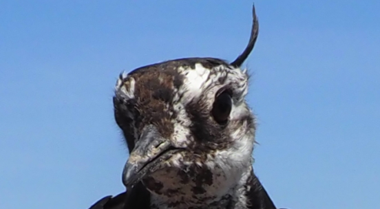
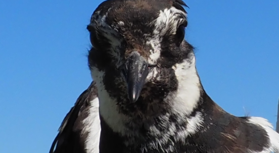
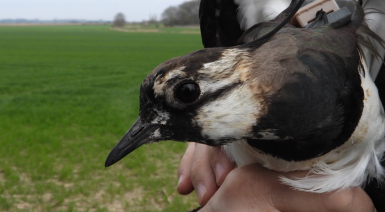
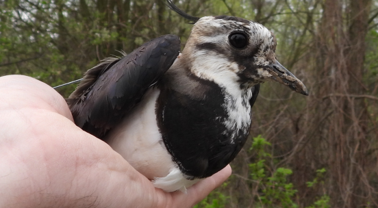
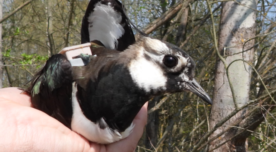
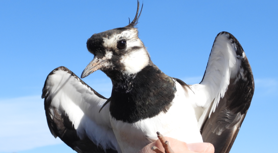
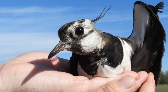
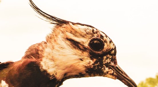
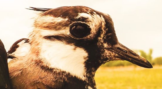
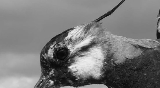
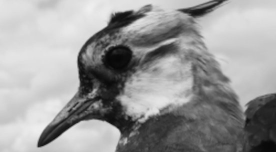
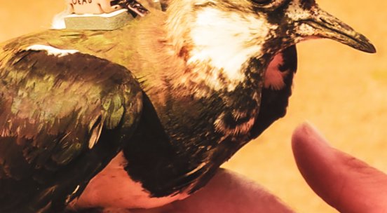
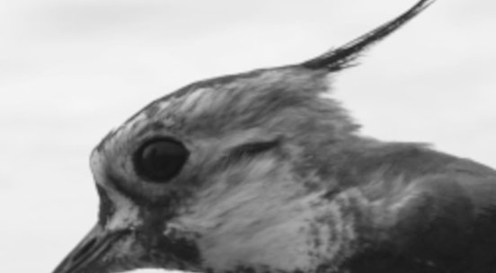
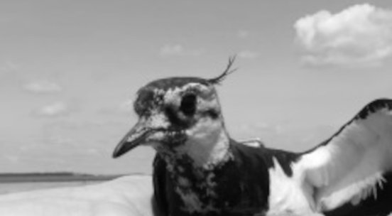
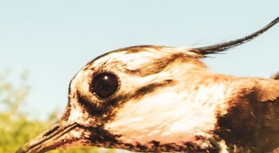
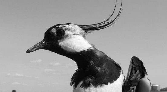
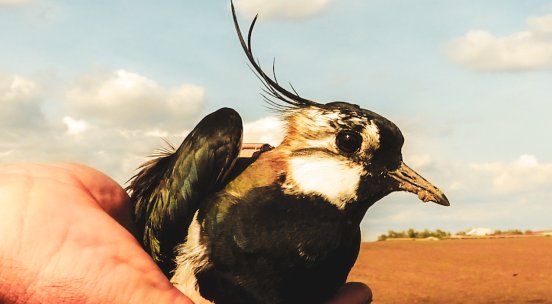
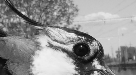
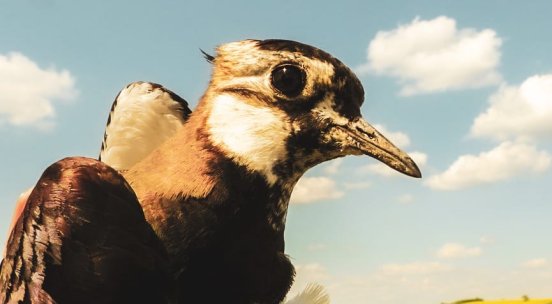
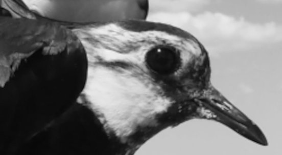
Selecting a Bird: On the map, individual birds are represented by icons of the Northern Lapwing's head. Each icon shows the initials of the bird's name (the first two letters of the name). By clicking on the icon, you will see detailed information about that bird. The lapwings' positions are updated once a day. If an icon turns grey, it means we are not receiving data from that lapwing for more than 48h—its tracking device may be out of signal range, have a dead battery, be damaged, or the bird may have passed away. When the bird dies or does not send the data long-term, it's icon dissapears. More details can be found in the bird's description.
Timeline: Using the slider, you can display the positions of all lapwings on a specific day. You can also start an animation to observe the movement of the lapwings from the time they were tagged. The playback speed is set to three days per second.
Zoom and Navigation: You can use the zoom and pan functions on the map, just like with regular Google Maps, to explore specific areas or examine route details. The maximum level of zoom is limited to protect the nesting lapwings.